Big Data and the Commuter
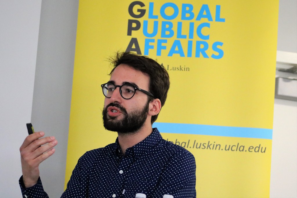
UCLA Institute of Transportation Studies and Global Public Affairs at UCLA Luskin co-hosted a lecture on April 18, 2018, by Antoine Cormount, Cities and Digital Technology chair at the Sciences Po university in Paris. Courmont’s discussion, “Big Data and Re-composition of Urban Governance in the Digital Era: The Case of the Waze App,” focused primarily on the potential for conflict between public and private goals when firms and governments use different data sets. The popular driving app Waze, Courmont explained, relies heavily on real-time crowdsourced data that is applied to help its users shorten commute times. Conversely, government-backed infrastructure like traffic cameras and roadway sensors are often employed to help reduce congestion — rather than short-term drive times. Because Waze will often route drivers through residential streets — clogging roads not designed for commuter traffic, the spillover effect from Waze’s data gathering causes regional traffic problems, governments say. Waze contends that poor urban planning has led to a need for its commute-shortening algorithms. Governments can implement a number of policies that could reduce Waze’ effectiveness, Courmont said. He also noted that Waze and governments have the potential to collaborate, share data and disseminate information on road closures and traffic hazards. — Zev Hurwitz
Click or swipe below to view a Flickr album of photos from the presentation:





Leave a Reply
Want to join the discussion?Feel free to contribute!