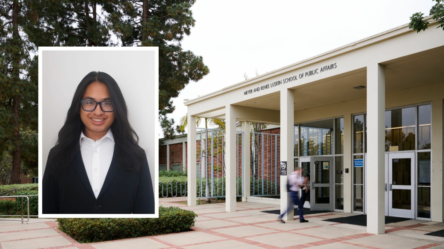
Q&A with Tristhan Lim: Public Affairs Minor Shaping Equitable Cities From GIS and transportation data to public policy and urban planning, a Luskin minor student reflects on how coursework connects cities, systems, and equity.
Why did you choose to pursue the public affairs minor?
I chose to pursue the Public Affairs minor because I wanted to understand the policy side of the urban issues I studied in my Geography classes. I have always cared about cities, transportation, housing, and infrastructure, but Public Affairs gave me a stronger framework for understanding how these decisions get made. The minor helped me connect mapping, data, and spatial analysis to questions of equity and access in our built environment. I wanted to understand why they happen, who they affect, and what kinds of policies can respond to them.

Tristhan Lim is a Geography Major, Public Affairs and Geospatial Information Systems & Technologies Minor
What does “urban planning” mean to you personally, and how has your time at Luskin shaped or changed that definition?
To me, urban planning means shaping cities in ways that improve people’s everyday lives. Before Luskin, I mostly understood planning through the physical city: streets, transit, housing, parks, and land use. My time at Luskin expanded that definition. I now see urban planning as deeply connected to political power, equity, access, community-building, and public decision-making. Luskin taught me that planning does not only ask what a city should look like. It also asks who gets access, who benefits, who faces displacement, and who gets included in decisions that shape the city.
Is there a specific class, professor, or project at Luskin that completely shifted your perspective on the field of public affairs?
I enjoyed PUB 113, Policy Analysis: Approaches to Addressing Social Problems, with Professor Covington in Spring 2025. This class shifted my perspective when thinking about policies and public programs, as it helped me understand how these ideas or projects move through bureaucracies, institutions, and management before they reach the public. I learned that agencies must interpret rules, manage resources, coordinate departments, and respond to political, financial, and administrative constraints before enacting a policy. That helped me see public affairs as more than policy ideas on paper. I got to learn that implementation depends on the people, systems, and institutions responsible for carrying out those decisions.
This class also gave me useful context for my work on infrastructure projects with UCLA Transportation and the City of Los Angeles – Bureau of Street Services. When I work with transportation data, GIS maps, sidewalk infrastructure, or mobility projects, I can better understand the larger process behind those projects. Public infrastructure requires coordination between planners, engineers, departments, funding sources, and community needs. PUB 113 helped me see how slow, complex, and layered policy implementation can become, especially in a city like Los Angeles. I now approach infrastructure work with a stronger understanding of how policy, management, and bureaucracy shape what actually gets built, maintained, or improved.
How has your Luskin coursework helped you navigate the real-world complexities of LA’s transportation systems?
Luskin helped me understand that transportation is not a singular matter. Transportation connects to housing affordability, labor, race, disability access, public health, the built environment, and economic opportunity. My coursework helps me ask better questions when I work with that data. Instead of only asking which route works fastest, I think about who has access to reliable transportation, who faces longer commute burdens, and how transportation planning can either reduce or reproduce inequality (shoutout PUB AFF 155 – Economics and Equity in Transportation Systems with Professor Bills)
Can you explain what you do as a Geographic Information Systems Intern for the City of Los Angeles and a Transportation Planning Intern for UCLA? What does a typical day look like for you?
As a Geographic Information Systems Intern for the City of Los Angeles, I work with spatial data to support city projects. My work includes cleaning datasets, creating maps, analyzing infrastructure, and using GIS tools to help visualize urban conditions. A lot of the work involves turning raw data into maps, dashboards, and visuals that planners, engineers, and decision-makers can use. An interesting project I am currently working on right now is analyzing which streets in Los Angeles should receive cool pavement to help reduce urban heat!
As a Transportation Planning Intern for UCLA, specifically in the Mobility and Traffic Systems unit, I support projects related to campus mobility and transportation behavior. I work with transportation data, commute/mobility patterns, GIS maps, dashboards, and reports that help UCLA understand how students, staff, and faculty move to and around campus. A typical day might include cleaning transportation data, building a map in ArcGIS, updating a dashboard, analyzing survey results, or preparing visuals for a report. I enjoy this work because it combines technical GIS skills with real planning questions about mobility, access, safety, and how people experience the campus environment.
How do you balance a demanding academic schedule, a city internship, and your extracurricular commitments?
I balance everything by being clear about my priorities. Work experience in my field matters a lot to me, so I try to structure my schedule around school and internships first. I use my calendar heavily, break big assignments into smaller tasks, and try not to wait until the last minute when I know my work schedule will get busy. I have also learned that balance does not always mean doing everything equally; sometimes school takes priority, sometimes work takes priority, and sometimes I need to step back from extracurriculars. The biggest thing has been learning how to manage my time without overcommitting.
Where do you see yourself in 5 or 10 years? What kind of impact do you ultimately want to make through your career?
In 5 to 10 years, I see myself pursuing a master’s in urban planning or master’s in GIS. Career-wise, I want to work in a job that combines GIS, planning, and urban analytics. I want to use data and mapping to make cities more accessible, sustainable, and equitable. Long term, I hope to work on projects that improve transportation systems, reduce barriers to mobility, and help communities access better infrastructure and public resources.
What advice would you give to other Luskin students?
My advice would be to take advantage of every opportunity to connect coursework with real-world experience. Public affairs can feel very broad. Internships, projects, and campus work can help you figure out what issues you want to focus on. I would also tell students not to underestimate technical skills. Learning GIS, data analysis, writing, and visualization can make your public affairs background even stronger.


Leave a Reply
Want to join the discussion?Feel free to contribute!