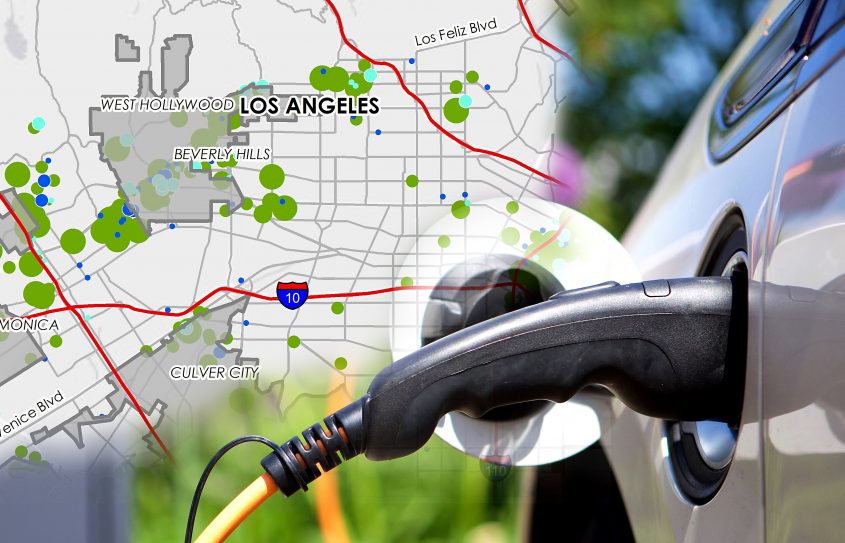
A New Tool to Help Plan for Expected Growth in Electric Vehicles Luskin Center’s Plug-in Electric Vehicle Readiness Atlas informs investments, policies and plans to meet consumer demand
More than 82,000 electric vehicles were registered in Southern California between 2011 and 2015. The number of new plug-in electric vehicles registered there during 2015 increased a whopping 992 percent from 2011.
Now, a report produced by the UCLA Luskin Center for Innovation forecasts continued exponential growth in the electric vehicle market, with more than 700,000 plug-in electric vehicles expected to hit Southern California roads by the end of 2025.
This forecast assumes that over time more residents of apartments and other multi-unit dwellings will be able to charge at home. The report, the Southern California Plug-In Electric Vehicle Readiness Atlas, can help make that happen, according to J.R. DeShazo, director of the Luskin Center for Innovation.
“We wanted to provide a tool that decision-makers can use to accommodate forecasted consumer demand for electric vehicles and charging infrastructure,” DeShazo said. For example, the atlas provides planners with critical spatial information for meeting charging demand in multi-unit residences and other places. It can also help utilities identify where utility upgrades may be needed to accommodate additional electricity loads.
The atlas documents the concentration of plug-in electric vehicles (PEVs) in a given neighborhood, visualizes how that concentration varies over the course of a day, and projects PEV growth over the next 10 years for each of the 15 sub-regional councils of government within Southern California.
With support from the Southern California Association of Governments (SCAG) and the California Energy Commission, the 2017 atlas is an update to the first Southern California PEV Readiness Plan and Atlas created by the Luskin Center for Innovation in 2013. Recognizing that the plug-in electric vehicle market has changed considerably in the last five years, the updated atlas helps decision-makers plan for future changes.
“Like the region’s first PEV plan and atlas, the 2017 update can help open people’s eyes to the promises and challenges posed by electric charging stations,” said Marco Anderson, a senior regional planner with SCAG. As a liaison to cities in the region, he has seen how many cities used the first atlas to find local partners for charging station sites.
The new maps include the following spatial information:
- the locations and sizes of workplaces, multiunit residences and retail establishments that could potentially host PEV charging
- the locations of existing charging infrastructure, including the number of charging units/cords and level of service
- and the locations of publicly accessible parking facilities to fill in gaps in PEV charging, particularly in older urban cores.


Leave a Reply
Want to join the discussion?Feel free to contribute!