Selina Barajas (MA UP ’10) has always believed that true change begins at the community level — by listening, collaborating, and caring for the places and people who make a city thrive. This November, that belief carried her to a historic victory as the first woman ever elected to represent Ward 5 on the Tucson City Council. This is the first time in Tucson history that the council majority – four out of the six seats – will be women.
As a fourth-generation Tucsonan, Barajas’ roots run deep. She grew up immersed in the city’s diverse cultures, attending local schools, exploring the Sonoran Desert, and learning firsthand the importance of community connection. From an early age, she witnessed the power of civic engagement through her family and found her passion for advocacy through a youth mentorship program with Chicanos Por La Causa (CPLC).

It was at CPLC that she met former Executive Director Lorraine Lee, who became an early mentor and encouraged Barajas to pursue a master’s degree at UCLA, just as Lee had.
Those early experiences at CPLC laid the foundation for her next chapter, and by 2008, Barajas was enrolled as a master’s in urban planning student at UCLA.
Barajas says UCLA inspired her lifelong commitment to equity-centered leadership. “My time at UCLA Luskin shaped my approach by emphasizing that community-driven development and social equity are inseparable,” she said. “I learned to center the voices of those most impacted by policies and planning decisions, and to design solutions that reflect their needs, culture, and expertise.”
She says the master’s program also taught her how to combine analytical rigor with empathy and opportunities to apply her classroom learning in real-world projects. “Luskin taught me to see equity not as an add-on, but as the foundation for lasting, meaningful change. It also provided real-world opportunities to engage directly with communities, applying what we learned in the classroom.”
“Luskin taught me to see equity not as an add-on, but as the foundation for lasting, meaningful change.”
Barajas also credits Luskin’s urban planning program with sharpening both her technical and human-centered skills. Courses in data analysis and geographic information systems (GIS) gave her the ability to visualize disparities and advocate for equity through evidence-based planning. She also recalled the lasting influence of the late Professor Leo Estrada, one of the first scholars, she says, to center diversity and representation in urban planning. “He taught us that planning is not just about policy or design — it’s about people,” Barajas recalled. “His guidance helped shape my lifelong commitment to community development and equity.”
After graduating from UCLA Luskin in 2010, Barajas spent a decade working in nonprofits and local government in and around Los Angeles, strengthening her commitment to youth empowerment and inclusive community development.
Barajas returned to Tucson in 2018 to continue her work at the intersection of environmental justice, cultural preservation, transportation planning and entrepreneurship. She and her husband are in the process of opening Luna y Sol Cafe, South Tucson’s first-ever coffee shop and bird and butterfly habitat created in partnership with the Tucson Bird Alliance. Designed as a gathering place for connection, conversation, and stewardship, the cafe reflects her vision for an inclusive and sustainable city. 
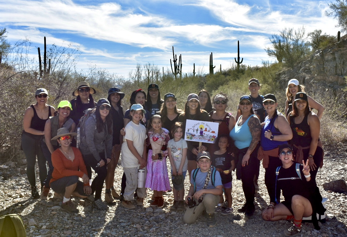
Barajas also founded Reinas Who Hike, a Southern Arizona collective that inspires women — especially women of color — to connect with nature, advocate for public lands, and build confidence on the trails.
“Whether through hiking, small business, or public service, everything I do is about creating spaces of belonging,” Barajas said. “When people feel seen, valued, and connected, they invest in their community — and that’s how real change happens.”
Barajas secured her Ward 5 seat after winning the Democratic primary earlier this year and ran unopposed in the general election. She will take office on Dec. 2, 2025, succeeding longtime council member Richard Fimbres, who retired after serving more than sixteen years of service.
As she prepares to take office, Barajas says she’s ready to bring her planning background and community-first approach to the Tucson City Council. Her priorities include advancing environmental justice, supporting small businesses, improving parks and public spaces, and ensuring Ward 5 residents have a real voice in shaping their city.
For Barajas, her election win represents both a personal milestone and a collective achievement. “Becoming the first woman to represent Ward 5 is deeply meaningful,” she said. “It honors the generations of women and community leaders who paved the way, and it inspires me to keep opening doors for those who come after me — including my daughters.”
To current UCLA Luskin students and future civic leaders, Barajas offers simple but powerful advice: listen first, show up, and stay rooted in purpose. “Civic leadership is about building trust,” she said. “Start by engaging with your community, volunteering, and learning from others doing the work. Let your passion for your community guide you.”
Barajas exemplifies the changemakers UCLA Luskin is proud to call our own. “I envision a Tucson that is inclusive and resilient — a city shaped by the ideas, needs, and voices of the community itself,” Barajas said. “That’s the Tucson I’ll work to build every day.”